Aerial Maps of Koreatown Dallas
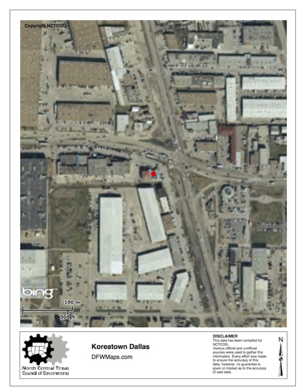
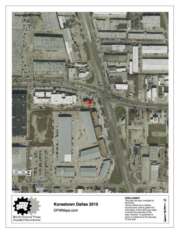
The above aerial maps are from the North Central Texas Council of Governments website. Both aerial maps are images of Koreatown Dallas on the east side of Interstate Highway 35. The development of Koreatown Dallas has changed from 1999 to 2015. The red dot on the map is where Korea House Restaurant is located, which is on the main intersection of Royal Lane and Harry Hines Blvd.