Browse Items (27 total)
Sort by:
Dr. Jay Zo

Image
Map of Koreatown Carrollton in 2015
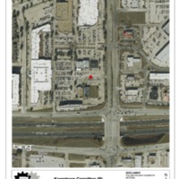
This image is an aerial map of Koreatown Carrollton in 2015.
Map of Koreatown Carrollton in 2009
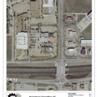
This image is an aerial map of Koreatown Carrollton in 2009, a year after it was built.
Map of Koreatown Dallas in 2015
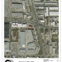
This image of an aerial map of Koreatown Dallas in 2015. It shows the east side of Koreatown with expansion of businesses.
Map of Koreatown Dallas in 1999
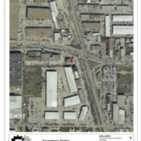
This image is an aerial map of Koreatown Dallas on the east side in 1999. The beginning intersection of Koreatown Dallas is located at Royal Lane and Harry Hines Blvd.
NE Plaza side of Koreatown Carrollton
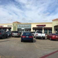
This image is the Northeast side of the Koreatown Carrollton plaza.
North side of Koreatown Carrollton
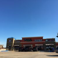
This image shows the North side of the Koreatown Carrollton plaza.
Interview B with Dr. Jay Zo

In this audio interview with Dr. Jay Zo, he shares the beginnings of Koreatown Dallas.
Interview A with Dr. Hwa Ja Bang
This interview segment is with Dr. Hwa Ja Bang.
Dr. Hwa Ja Bang

Photo Image of Dr. Hwa Ja Bang at Korean Presbyterian Church Library in Dallas